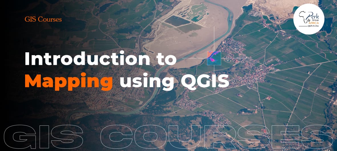
Introduction to Mapping using QGIS Training
This course offers a brief yet comprehensive exploration of the fundamental principles and practical skills required for creating maps and conducting spatial analysis using the QGIS software... Learn more
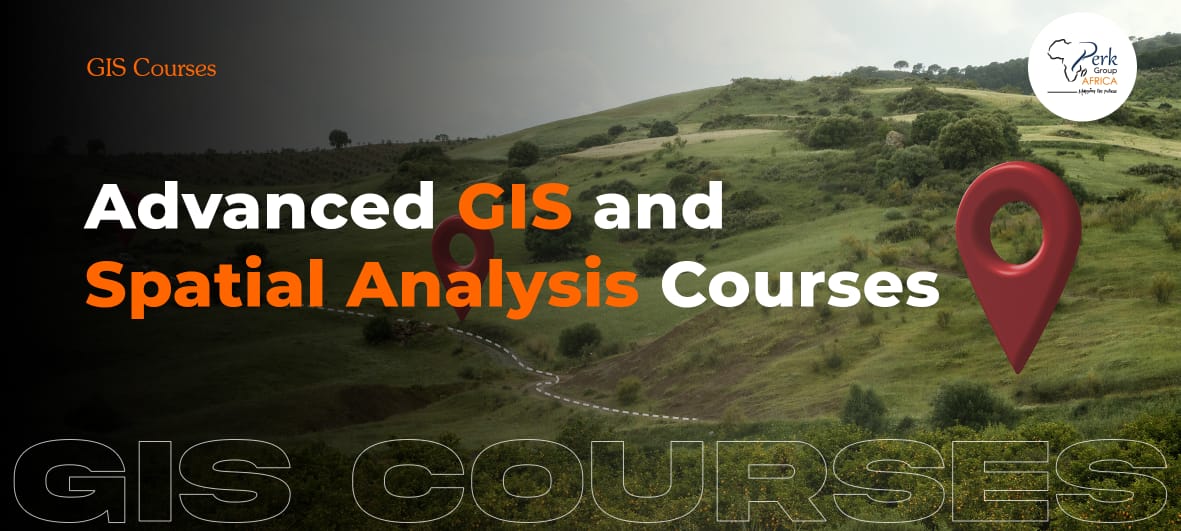
Advanced Mapping and Spatial Analysis using QGIS Training
This course explores the advanced techniques and tools to enhance participants’ mapping skills and take full advantage of the capabilities of QGIS software... Read more
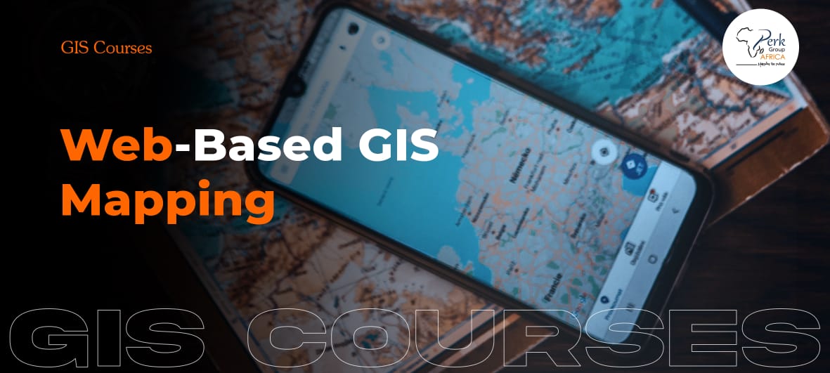
Web-Based GIS Mapping Training
This course takes participants through the principles and techniques required to create interactive and dynamic web maps using QGIS software...Read more
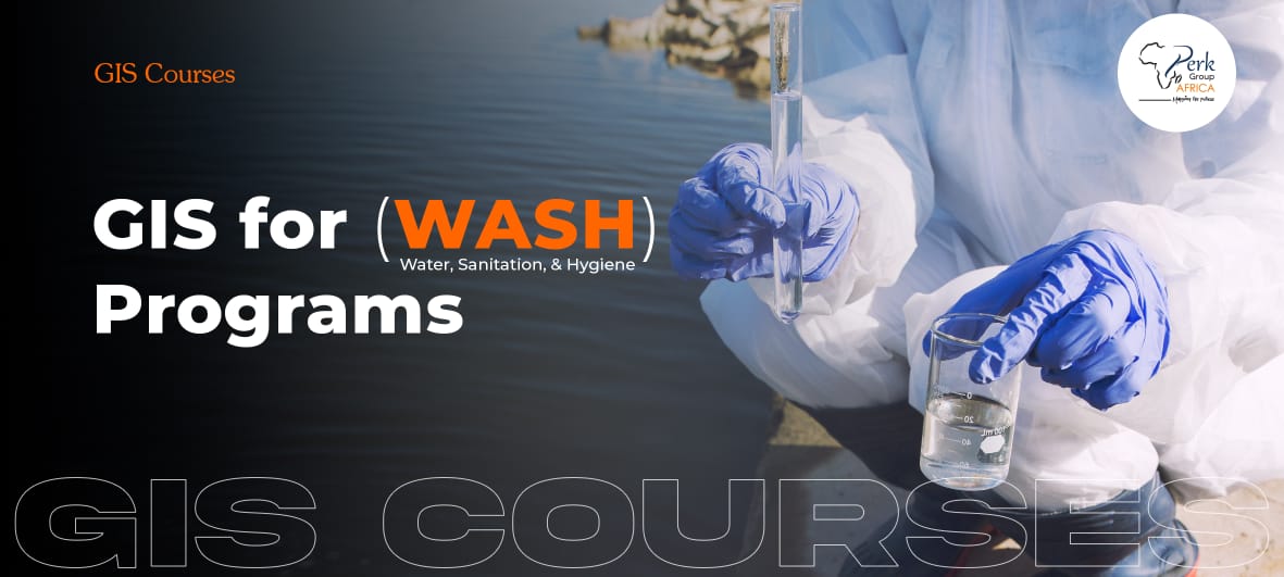
GIS for WASH Programs Training
This course will introduce participants to the application of Geographic Information Systems (GIS) in Water, Sanitation, and Hygiene (WASH) programs...Read more
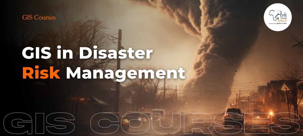
GIS in Disaster Risk Management Training
This GIS in Disaster Risk Management course will equip participants with the knowledge of the use of Geographic Information Systems (GIS) in managing and mitigating disaster risks...Read more