Training Course on GIS for WASH Programs (GIS004)
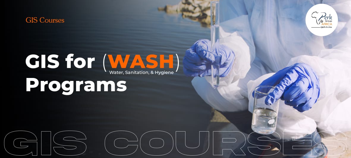
Training Course on GIS for WASH Programs
This course offers will introduce participants to the application of Geographic Information Systems (GIS) in Water, Sanitation, and Hygiene (WASH) programs. This course is designed for professionals and practitioners working in the WASH sector who want to harness the power of spatial analysis and visualization to improve planning, decision-making, and implementation of WASH projects.
Through practical examples and hands-on exercises, participants will learn how GIS can enhance the understanding and management of water resources, sanitation facilities, and hygiene practices. They will gain the necessary skills to collect, analyze, and visualize spatial data related to WASH, enabling them to identify patterns, assess needs, and target interventions more effectively.
Course Duration
Online Training: 7 days (4hrs per day)
Classroom Training: 5 days (7hrs per day)
Course Objectives
By the end of this course, participants will be able to:
- Understand the role and importance of GIS in Water, Sanitation, and Hygiene (WASH) programs.
- Collect, manage, and integrate spatial data relevant to WASH interventions.
- Apply spatial analysis techniques for water resource management, sanitation planning, and hygiene monitoring.
- Identify optimal locations for water supply points, sanitation facilities, and hygiene interventions.
- Visualize and communicate WASH data using thematic maps, dashboards, and web-based GIS tools.
- Integrate GIS into WASH project planning, monitoring, and evaluation processes.
- Develop practical GIS implementation plans for real-world WASH projects.
Organisational Impact
Organizations whose staff attend this course will benefit from:
- Improved decision-making: Use GIS to target WASH interventions more accurately and efficiently.
- Enhanced project planning and design: Spatial analysis informs the placement of water, sanitation, and hygiene facilities.
- Better monitoring and evaluation: GIS enables tracking progress, coverage, and impact of WASH programs.
- Data-driven resource allocation: Prioritize resources based on spatial needs and vulnerability assessments.
- Stakeholder engagement: Interactive maps and dashboards provide a visual tool for communication with partners, communities, and donors.
- Increased operational efficiency: Reduce duplication of efforts and optimize program implementation through spatial insights.
Personal Impact
Participants will gain:
- Technical GIS skills: Ability to collect, manage, analyze, and visualize spatial data for WASH programs.
- Analytical competence: Apply spatial analysis techniques to solve real-world WASH challenges.
- Decision-making confidence: Use GIS outputs to make evidence-based recommendations.
- Professional growth: Enhanced relevance and employability in the WASH, development, and humanitarian sectors.
- Project management skills: Integrate GIS tools into planning, monitoring, and evaluation activities.
- Certification: A certificate of completion validating their GIS competency for WASH applications.
Course Outline
Module 1: Introduction to GIS for WASH Programs
- Understanding the Role of GIS in the WASH Sector
- Overview of key concepts and Principles of GIS
- Introduction to GIS software and tools for WASH applications
- Introduction to spatial data types and sources for WASH programs
Module 2: Data Collection and Management for WASH
- Methods and techniques for collecting spatial data in WASH programs
- Data quality assurance and management
- Georeferencing and spatial data integration
- Introduction to WASH data standards and interoperability
Module 3: Spatial Analysis for WASH Decision Making
- Spatial analysis techniques for water resource management
- Identifying suitable locations for water supply and sanitation facilities
- Watershed analysis and catchment delineation
- Spatial analysis for targeting and prioritizing WASH interventions
Module 4: Visualization and Mapping for WASH
- Cartographic principles for WASH maps
- Creating thematic maps to visualize WASH data
- Designing interactive and informative WASH dashboards
- Web mapping for sharing WASH information and engaging stakeholders
Module 5: GIS in WASH Project Planning and Monitoring
- Integrating GIS into WASH project planning and design
- Monitoring and evaluation using GIS for WASH programs
- Case studies and best practices in GIS applications for WASH
- Developing a GIS implementation plan for WASH projects
Note: The specific content, activities, and duration of each session may be adjusted based on the target audience, learning objectives, and available time.
Course Language
English
Training Methodology
The course employs a practical, hands-on, and interactive approach, combining theory with exercises to ensure participants can apply GIS in WASH contexts effectively. Key methodologies include:
- Interactive Lectures: Introduce GIS concepts, tools, and their relevance in WASH programs.
- Hands-On Exercises: Step-by-step use of GIS software to collect, manage, and analyze WASH spatial data.
- Case Studies: Real-world examples highlighting successful GIS applications in WASH projects.
- Spatial Analysis Practice: Participants perform watershed analysis, site selection, and prioritization of interventions.
- Visualization and Mapping Tasks: Create thematic maps, dashboards, and web maps to communicate findings.
- Project Integration Exercises: Develop GIS implementation plans for WASH programs, integrating analysis into monitoring and evaluation frameworks.
- Collaborative Learning: Group exercises and discussions to solve practical challenges and foster peer learning.
- Continuous Feedback: Trainers provide guidance, troubleshooting, and support during practical sessions.
Certification
Upon completion of training, the participant will be issued with a certificate of Completion.
Frequently Asked Questions
Common questions about the Training Course on GIS for WASH Programs course.
GIS in WASH (Water, Sanitation and Hygiene) programming uses spatial data and analysis to plan, monitor and evaluate water point installations, sanitation coverage, latrine construction, hygiene-promotion reach, and disease outbreak response. It supports decisions on borehole siting (where will the well serve most people, considering hydrogeology and population), coverage gap identification (which villages remain unserved), water-quality monitoring (mapping E. coli test results), and outbreak response (cluster mapping in cholera epidemics). WASH GIS is a core competency for organisations like UNICEF, WaterAid, IRC and Oxfam.
GIS supports water point mapping by capturing each well, borehole, tap, or spring with GPS coordinates plus attributes (functionality status, water quality test results, management committee, last service date, technology type, depth, yield). The mapped data feeds dashboards showing functionality rates, coverage gaps, and maintenance priorities. Major water-point monitoring systems include mWater, the Rural Water Supply Network's WPDx (Water Point Data Exchange), and country-level systems run by Ministries of Water. GIS enables strategic decisions on rehabilitation versus new construction.
In cholera outbreak response, spatial tools include: case mapping with daily updates by treatment centre and date of onset, hotspot detection using SatScan or Local Moran's I to identify statistically significant case clusters, attack-rate maps by neighbourhood normalised against population, water-source proximity analysis to identify likely contamination sources, and ring-vaccination zone planning. Tools combine GIS software (QGIS, ArcGIS), case management systems (DHIS2, Go.Data), and dashboards (Power BI, Tableau, Kobo). Real-time spatial intelligence shortens response time and reduces case-fatality rates.
WASH officers, engineers and technical advisors in NGOs, UN agencies, water utilities and county water departments; M&E staff tracking WASH indicators; and planners designing water supply, sanitation and hygiene interventions.
Water-point mapping using mWater/mobile tools, catchment and watershed delineation, service coverage analysis against JMP ladders, sanitation and open-defecation-free (ODF) mapping, accessibility analysis to health and school facilities, and producing decision-ready maps for donor reports.
Some prior GIS exposure is helpful — our Introduction to Mapping using QGIS course is the recommended starting point if you are completely new. WASH programme knowledge is expected; the course assumes you understand water-supply levels and sanitation categories.
Online and in-person. Both formats are hands-on with real WASH datasets. Both issue the Perk Group Africa certificate of completion with a verification code.
Related Courses
Explore more courses in GIS Courses